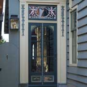
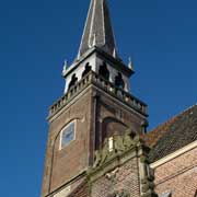
Photos of the Province of Noord-Holland, the Netherlands

The Province of Noord-Holland
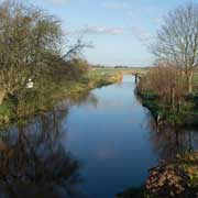
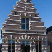
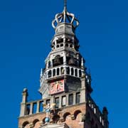
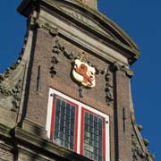
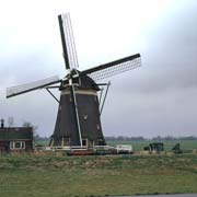
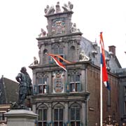
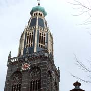
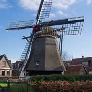
Noord-Holland (North Holland) may be considered as essentially Dutch, with its polder landscapes, windmills, bulb fields and the vibrant capital city of Amsterdam; the provincial capital, however, is Haarlem, a city with many historical buildings, especially from the 17th Century. The province is for the most part a peninsula between the Noordzee and the IJsselmeer; in the north the 30 kilometres barrier dam, the Afsluitdijk, leads to Fryslân and in the south it shares a border with Zuid-Holland and Utrecht.
you may then send it as a postcard if you wish.

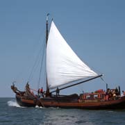
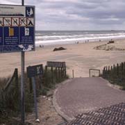
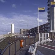
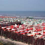
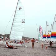
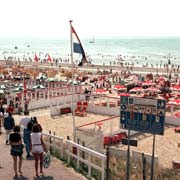
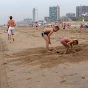
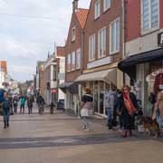
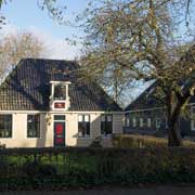
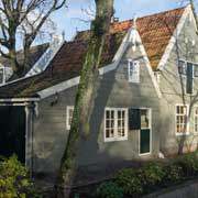

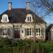
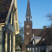
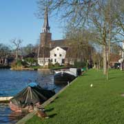
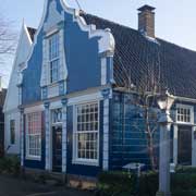

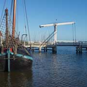

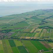
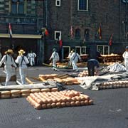
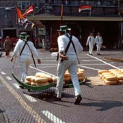

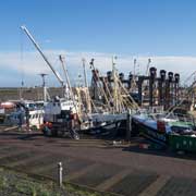
Noord-Holland has an area of 3,961 km² and a population of around 2.6 million, making it, after Zuid-Holland, the province with the second highest population density. Yet, there are also beauty spots, historical towns and unspoilt villages. Zandvoort is a sophisticated beach resort town, Broek In Waterland, 8 kilometres northeast of Amsterdam, a wonderfully preserved village with many of the houses dating back to before 1850, Alkmaar is famous for its cheese market, towns like Monnickendam, Hoorn and Enkhuizen just breathe history and in villages like Volendam and the former island of Marken the women still adhere to their national dress.
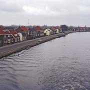
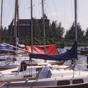
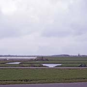
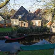
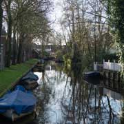
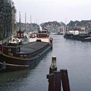
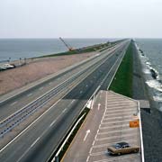
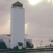
Until about 700 years ago North Holland had more water than land; centuries of reclamation of the many lakes produced rich farmland and the Wieringermeer, a large polder produced by building dikes from the mainland to the island of Wieringen in the extreme north east of the province, was started in 1927; and in 1931 the first harvest of barley and rye was produced. The Afsluitdijk (Enclosure Dam), was started with the dyke between the mainland and Wieringen (about 2.5 kilometres); the 30 kilometres dam, all the way from the village of Den Oever to Zurich in Friesland, was closed on 28 May 1932, turning the Zuiderzee, an inland sea, into the IJsselmeer, a lake, and providing a fast route from Friesland to Amsterdam. A monument is erected on the site where the final bucket of boulder clay closed the last tidal trench. There is a lunchroom and a viewing platform for the view; this is also the border between the two provinces. It has meant many changes for the communities along the former Zuiderzee; Enkhuizen, no longer with a fishing fleet, has become the biggest watersport centre in the province.